Seismic
histories of the main localities
|
for information:
| L. Peruzza, GNDT at Osservatorio Geofisico Sperimentale, Trieste
M. Stucchi, Istituto Ricerca Rischio Sismico CNR, Milano
A. Zerga, GNDT at Istituto Ricerca Rischio Sismico CNR, Milano
|
The "seismic history" of a locality is the time sequence of seismic effects
observed in that locality. Such effects can be caused by earthquakes near or
far from the locality itself.
Seismic histories of about 600 localities, consisting of 10 observations at
least, are available in the database of macroseismic intensities DOM4.1
(query by locality).
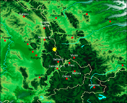
A click on the locality in the following map will provide its seismic history
comparing the really "observed" effects,
resulting from the historical data (in red) with the so called
"calculated" values, obtained by means of the NT4.1 catalogue and the
attenuation relationships used for seismic hazard maps (in blue).
"Blue" data, in decimal figures because obtained by mathematics calculations,
approximately represent the intensities that should have been observed in that
locality if each earthquake had occurred exactly according to the parameters
adopted for its description (localisation, epicentral intensity and attenuation
coefficients), and without taking into account site amplification.
In the figures, red data are drawn "over" the blue ones.


