Damage to Port and Harbour
Structures
Almost all the industrial
facilities located along the northern shores of the Gulf of Izmit have a port or
jetty structure. Damage to these structures are concentrated within 20km of Golcuk and
vary from small displacements to settlement and total collapse. In the naval base, where
the fault passes through, damage is extensive. In most cases the attached structures,
cranes and the piping systems have collapsed and heavily damaged. In Izmit marina the port
structure has slightly displaced and the fill area behind the port heaved. However the
marina is operational. In Derince port the fill area behind the port structure has
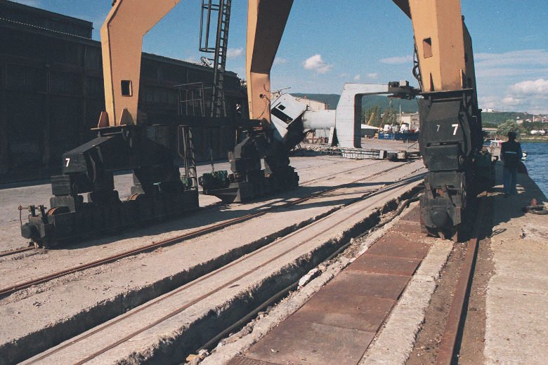
subsided and caused overturning damage to mobile cranes on the rails. In Shell
and Klor-Alkali Ports the the jetties have evidently been exposed a strong longitudinal
ground pulse that has first push them towards the shore and then pulled them towards
the sea. The second part of this pulse caused slumping towards the sea which took away a
substantial portion of the jetty with the mobilized land mass. This motion is most
probably directly related with the transverse pulse in the field of the fault rupture as
evidenced by the strong motion record at YPT station.


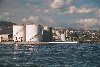
(damage at Degirmendere)


(The damaged jetty
in Shell and Klor-Alkali Ports)


(susbsided jetty and damaged piping
system)


(overturning damage to cranes at Derince
Port)