The ASMI OGC WMS services provides access to the latest CPTI catalogue.
Data citation of the current (i.e. latest) version of CPTI:
Rovida A., Locati M., Camassi R., Lolli, B., Gasperini P., Antonucci A., 2021. Catalogo Parametrico dei Terremoti Italiani (CPTI15), versione 3.0. Istituto Nazionale di Geofisica e Vulcanologia (INGV).
https://doi.org/10.13127/CPTI/CPTI15.3
Use OGC web services in a GIS
The OGC standard is well supported by GIS software such as ESRI ArcMap and QGIS.
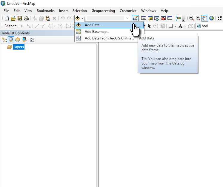
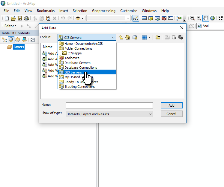
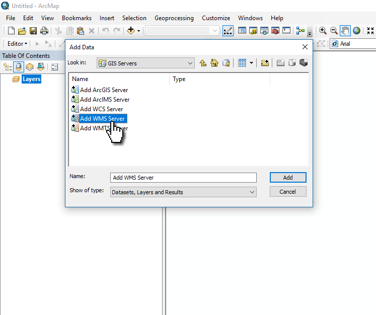
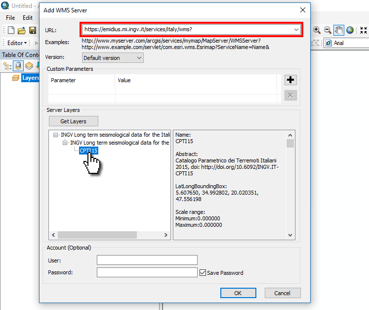
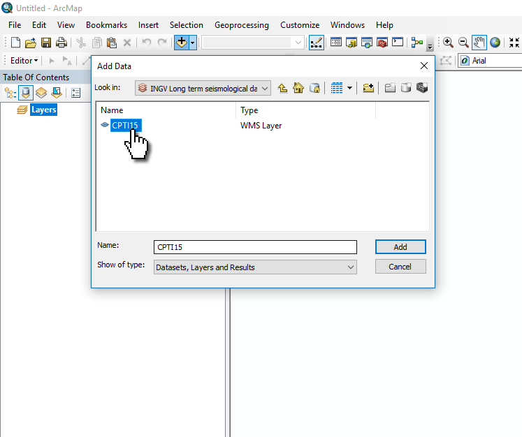
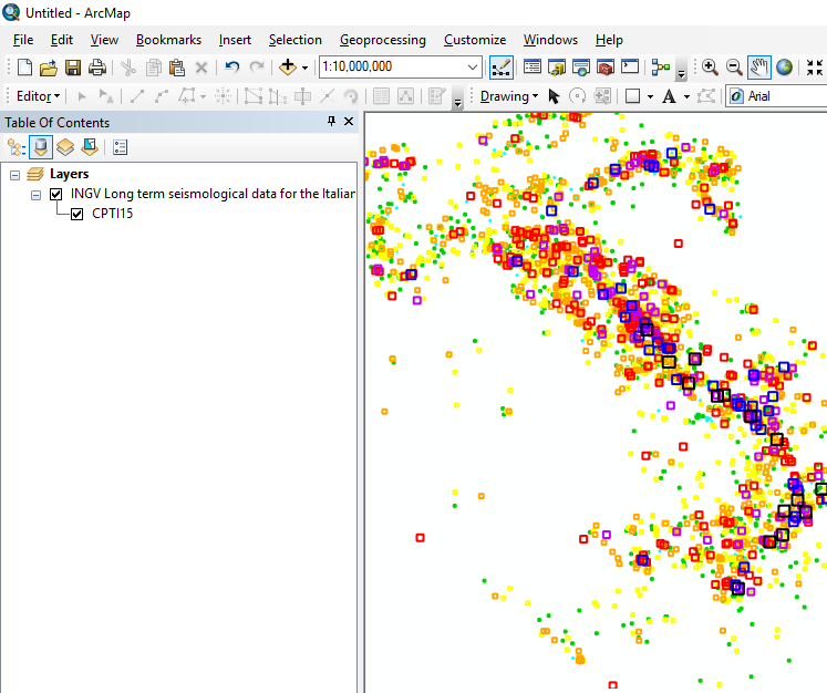
ESRI ArcMap supports natively the OGC WMS standard. Show how to load a WMS layer into ArcMap.
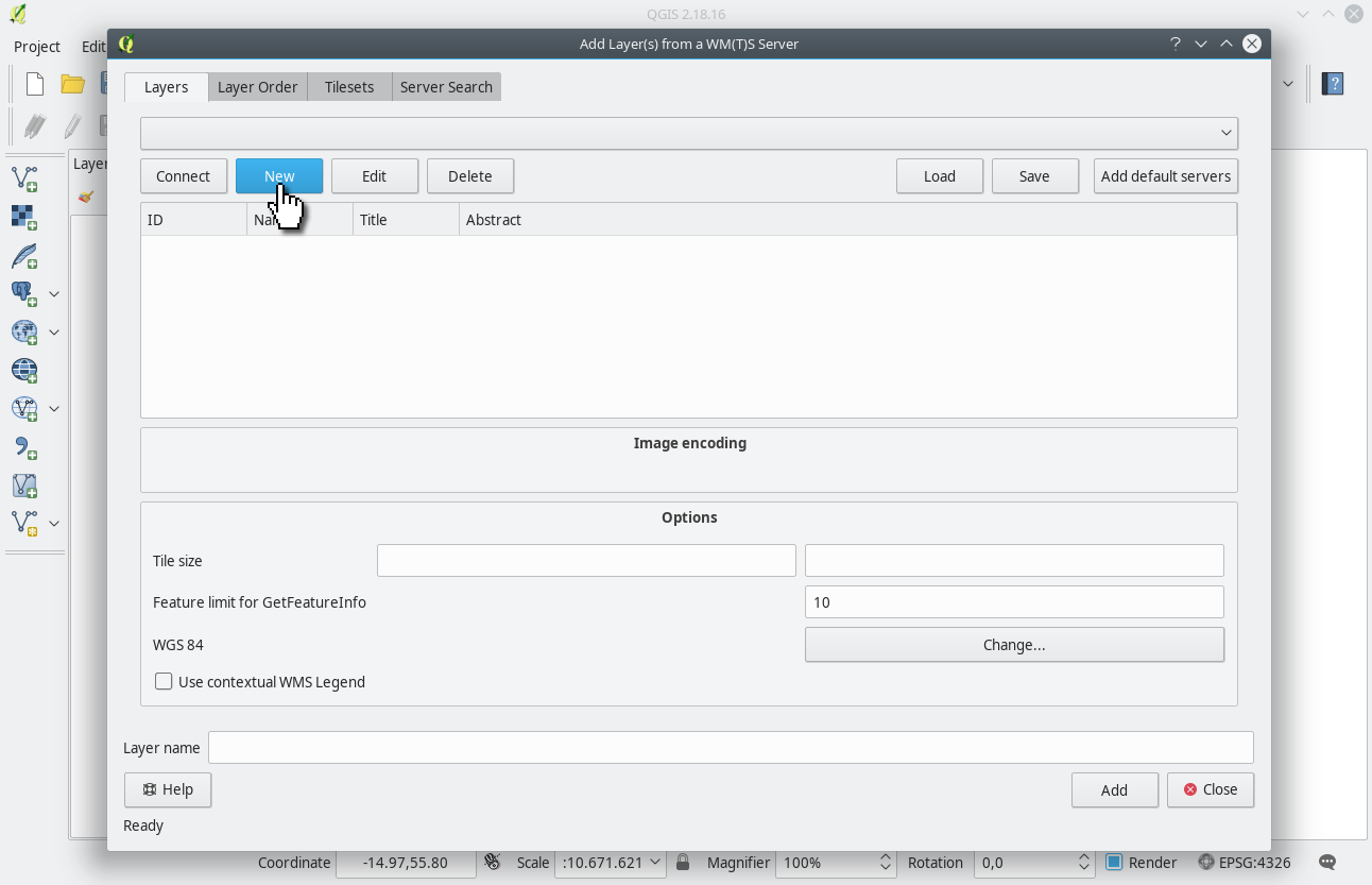
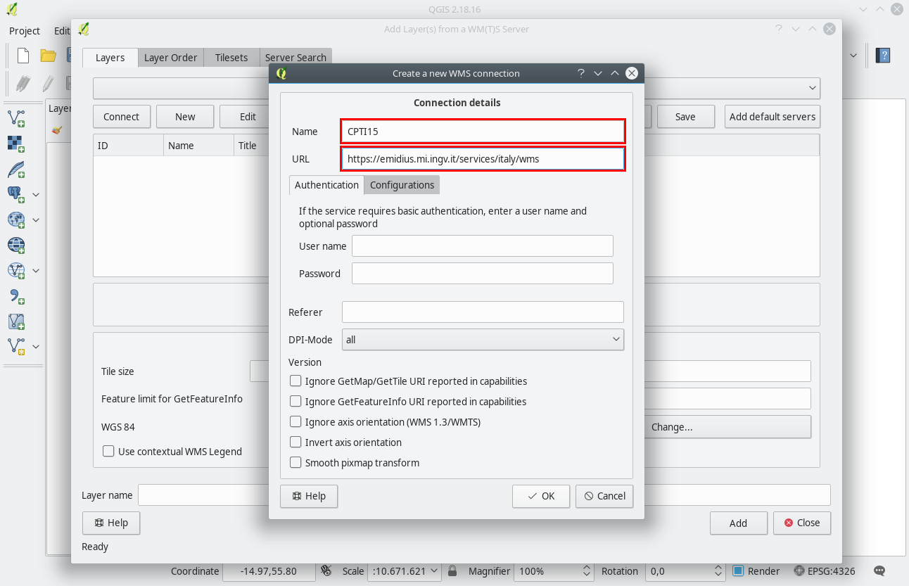
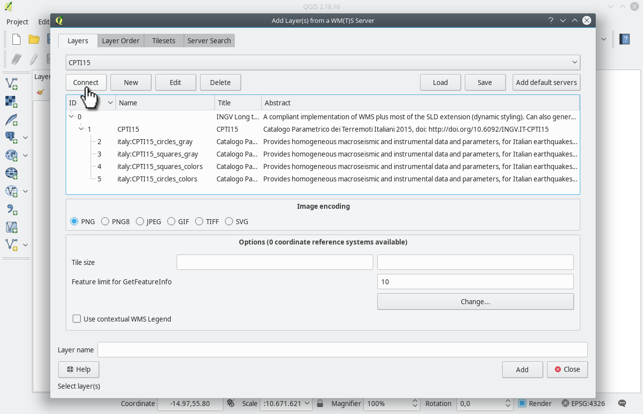
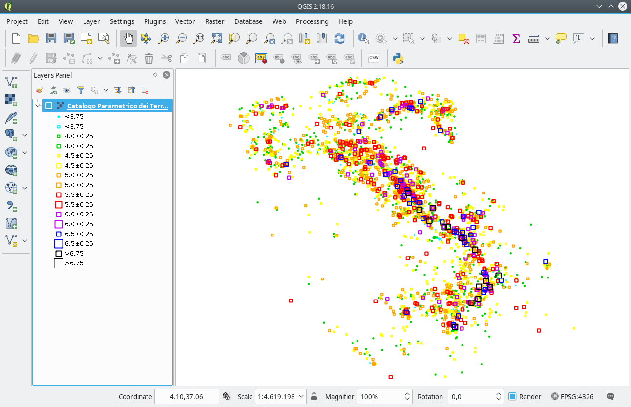
QGIS supports natively the OGC WMS standard. Show how to load a WMS layer into QGIS
Query examples
Here you may find some example of the possible queries offered by OGC web services.
Please, refer to the corresponding manuals at OGC WMS for a complete overview of their standard.
Web service capabilities
Legend
Here the list of supported output formats:
image/geotiff, image/geotiff8, image/gif, image/jpeg, image/png, image/png; mode=8bit, image/svg+xml, image/tiff, image/tiff8, image/vnd.jpeg-png, application/pdf
application/atom+xml

								application/json;type=utfgrid

								application/rss+xml
application/vnd.google-earth.kml+xml

								application/vnd.google-earth.kml+xml;mode=networklink

								application/vnd.google-earth.kmz
text/html; subtype=openlayersField descriptions of the table
| Field | Description |
|---|---|
| N | Record number (in chronological order) |
| Sect |
Catalogue section, related to a specific seismological context
|
| Year | Origin time: year |
| Mo | Origin time: month |
| Da | Origin time: day |
| Ho | Origin time: hour |
| Mi | Origin time: minutes |
| Se | Origin time: seconds |
| EpicentralArea | Epicentral area or area of the largest macroseimic effects |
| MainRef |
Main bibliographical reference:
|
| TLDef |
Type of default location:
|
| LatDef | Default epicentral latitude (WGS84) |
| LonDef | Default epicentral longitude (WGS84) |
| DepDef | Default depth in km (instrumental; only when TLDef = II or IM) |
| IoDef | Default epicentral intensity |
| TIoDef |
Source of the default epicentral intensity:
|
| MwDef | Default moment magnitude |
| ErMwDef | Error associated to the default moment magnitude |
| TMwDef |
Default moment magnitude determination code:
|
| RefM | Reference code of the macroseismic dataset |
| MdpN | Number of macroseismic data |
| Imax | Maximum intensity |
| LatM | Epicentral latitude: macroseismic determination (WGS84) |
| LonM | Epicentral longitude: macroseismic determination (WGS84) |
| ErrLatM | Error associated to the latitude, determined using Boxer [km] |
| ErrLonM | Error associated to the longitude, determined using Boxer [km] |
| TepiM |
Method for the determination of the macroseismic epicentre:
|
| Io | Epicentral intensity |
| MwM | Moment magnitude: macroseismic determination |
| ErMwM | Error associated to the macroseismic moment magnitude |
| TMwM |
Method for the determination of moment magnitude from macroseismic data:
|
| RefIns | Reference code of the source of the instrumental epicentre |
| LatIns | Epicentral latitude: instrumental determination (WGS84) |
| LonIns | Epicentral longitude: instrumental determination (WGS84) |
| DepIns | Hypocentral depth [km] |
| MwIns | Instrumental moment magnitude |
| ErMwIns | Error associated to the instrumental moment magnitude |
| TMwIns |
Instrumental magnitude origin:
|
| RefMwIns | Reference code(s) of the source of the instrumental magnitude |
| EqID | Earthquake identifier (not chronologically ordered) |
| CPTI11id | Record identifier in CPTI11 |
| URL | Event description webpage on the CPTI15 official website |
| URL_quakeml | Preconfigured call to the ASMI FDSN event web service with the event data encoded using QuakeML 1.2 |
| URL_ASMI | Event description webpage on the ASMI website |